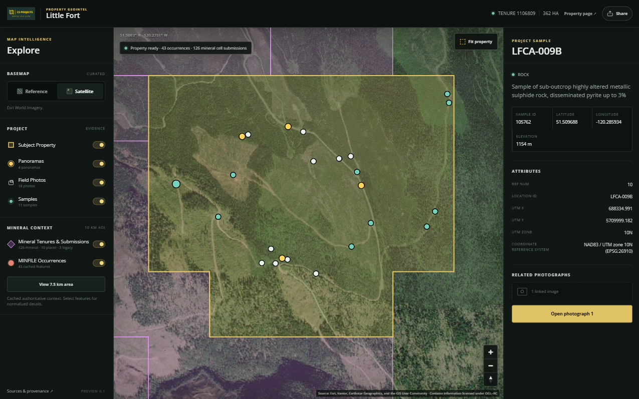
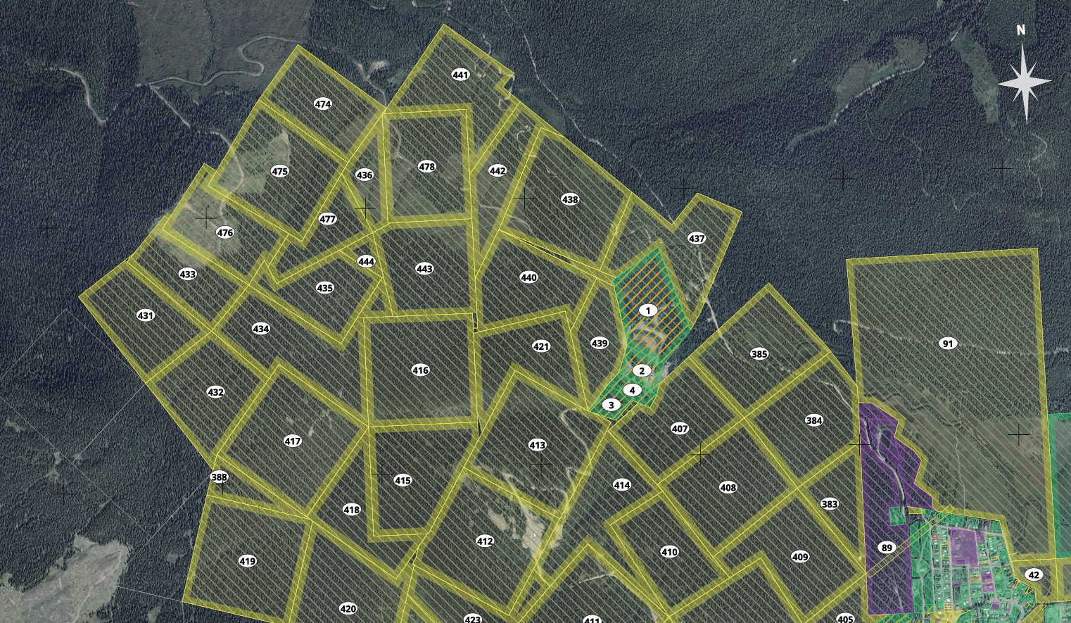
Property & Spatial Intelligence
Boundaries, tenure, ownership context, geology, terrain, access, infrastructure, constraints and other spatial information.
C5 PROJECTS
Turn scattered project information into decision-ready intelligence.
We bring spatial data, field information, imagery, public records and project knowledge together so complex places can be understood, communicated and acted on.
THE PROBLEM
Project information is scattered across maps, public records, spreadsheets, reports, photographs, video and people's heads. At the same time, AI is changing how information can be searched, analyzed and communicated, but many organizations are unsure how to put it to practical use.
C5 Projects brings those pieces together. We combine mapping and spatial intelligence with photography, aerial imagery, visual media and practical AI to turn disconnected information into something people can explore, understand and act on.
We call this approach GeoIntelligence: spatial data, field evidence and project knowledge, brought into one place and built around the decision at hand.
Most project information already exists somewhere. The work is connecting it to the decision in front of you.
THE GEOINTELLIGENCE MODEL
GeoIntelligence combines technical project context with field evidence and clear communication. The goal is not another software platform to learn. It is a practical environment built around the project itself.
Boundaries, tenure, ownership context, geology, terrain, access, infrastructure, constraints and other spatial information.
Samples, observations, site photography, panoramas, drone imagery and other field evidence connected directly to location.
Interactive project environments that help technical teams, boards, partners, investors and stakeholders work from common context.
WHERE WE WORK
RESOURCES
Bring claims, tenure, geology, mineral occurrences, samples, access, infrastructure, field media and project records into one property intelligence environment.
Explore Resource GeoIntelligence →LAND & PROPERTY
Combine title and parcel context, access, servicing, planning constraints, improvements, imagery and surrounding land information for large or complicated properties.
INFRASTRUCTURE
Bring together infrastructure, land constraints, stakeholder geography, field information, public datasets and project records for engineering and public-sector work.
WHAT WE BUILD
Interactive environments, clear mapping and visual communication that help people understand a place and the decisions around it.
INTERACTIVE PROJECT ENVIRONMENTS
Bring maps, property information, field evidence and project records into one environment. Teams, investors and stakeholders can explore the layers and find the information relevant to their decisions.
GIS MAPPING & SPATIAL ANALYSIS
Turn public datasets and project information into clear maps and spatial analysis that explain land interests, geology, access, infrastructure and constraints.
VISUAL MEDIA & PROJECT COMMUNICATION
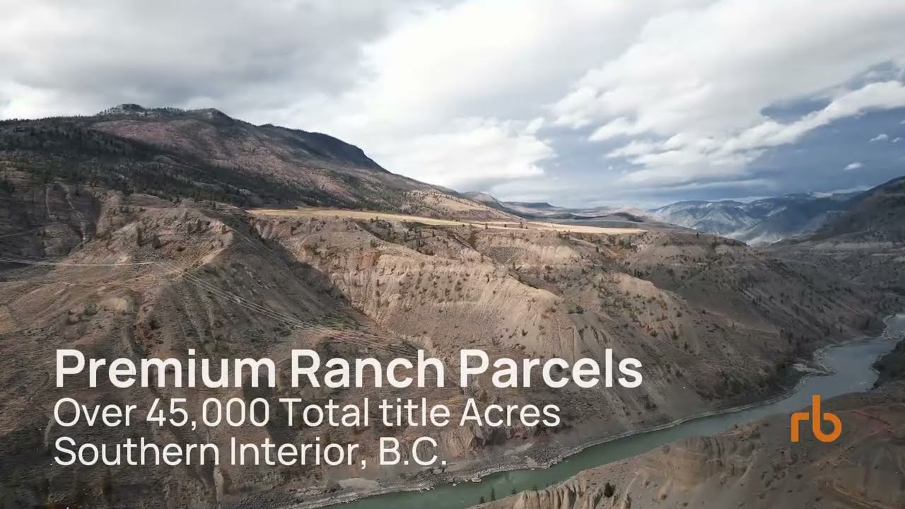
Featured ranch film produced by Clayton Smith.
Use drone imagery, photography, video and project websites to communicate a property's setting, access, infrastructure and potential to investors, partners and stakeholders.
HOW ENGAGEMENTS CAN GROW
Rapidly understand a property or project and the context around it.
A dedicated interactive environment built around one project.
Multiple properties or assets brought into one operating view.
Ongoing updates, maintenance and intelligence support as the project evolves.
CAPABILITIES
These capabilities work on their own or as part of a larger project intelligence build.
Spatial analysis, cartography, public-data integration, data preparation and project mapping.
MapLibre-based viewers, web maps, project portals and structured spatial-data environments.
Drone imagery, site photography, georeferenced photographs, panoramas and visual documentation.
Still photography, selected video production, visual storytelling and presentation assets for significant properties and projects.
Building floor plans, site documentation and spatial presentation for commercial and industrial properties.
Practical automation for ingestion, extraction, classification, research, summarization and maintenance of project information.
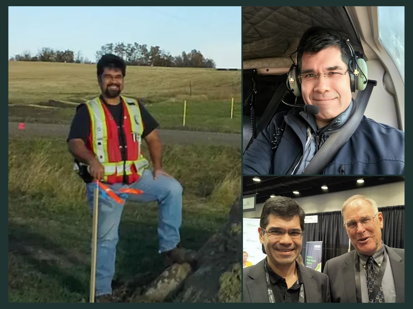
CLAYTON SMITH, CET · C5 PROJECTS
C5 Projects is led by Clayton Smith, CET, a Certified Engineering Technologist with a background in survey, land, GIS, mapping, infrastructure and visual project communication.
His experience also includes real estate and resource investment, including analyzing and managing his own portfolio. That owner and investor perspective connects technical project information with the questions behind investment decisions.
That mix matters because GeoIntelligence is not simply map production. It requires understanding how location, access, terrain, land interests, infrastructure, field evidence and communication affect real projects.
More about Clayton →YOUR PROJECT
If the information around a property, asset or project is scattered across maps, reports, public systems, spreadsheets and field records, there is probably a better way to bring it together.